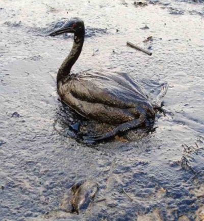
Given the fact that Shell is pushing forward with its plans to drill in the Arctic region, which means that ship trafficking will also increase in this region, it comes as no surprise that efforts are now made to be sure that, should an accidental oil spill occur, responders will be as efficient as possible.
Thus, a federal mapping tool, known as the Environmental Response Management Application (ERMA), is soon to be used in these frozen waters in order to keep a close eye on the potential threats to the ecosystems in this part of the world.
More precisely, ERMA uses real-time observations of oceanic waters, information concerning weather patterns and can even be made to take into consideration areas dedicated to fishing activities or wildlife preservation.
As one can easily guess, this makes it a trustworthy tool for the proper management of accidental oil spills or other incidents which might negatively impact on the natural world, as the researchers know exactly what the risks are and how the problem will be influenced by environmental conditions.
US' National Oceanic and Atmospheric Administration (NOAA) informs us that James A. Watson from the national Bureau of Safety and Environmental Enforcement recently explained how, “I know first-hand how critical it is for emergency responders to have the common operating picture ERMA provides.”
He further added that, “With the potential for oil and natural gas development, as well as increased shipping activity offshore Alaska, it is essential that responders have access to real-time information that provides full situational awareness.”
Seeing how ERMA already proved its efficiency back in 2010, when it was used to tackle the Deepwater Horizon oil spill, we see no reason why it should not be used to safeguard the already vulnerable Arctic region.
Via: Federal Mapping Soon Used to Monitor the Arctic
Tidak ada komentar:
Posting Komentar